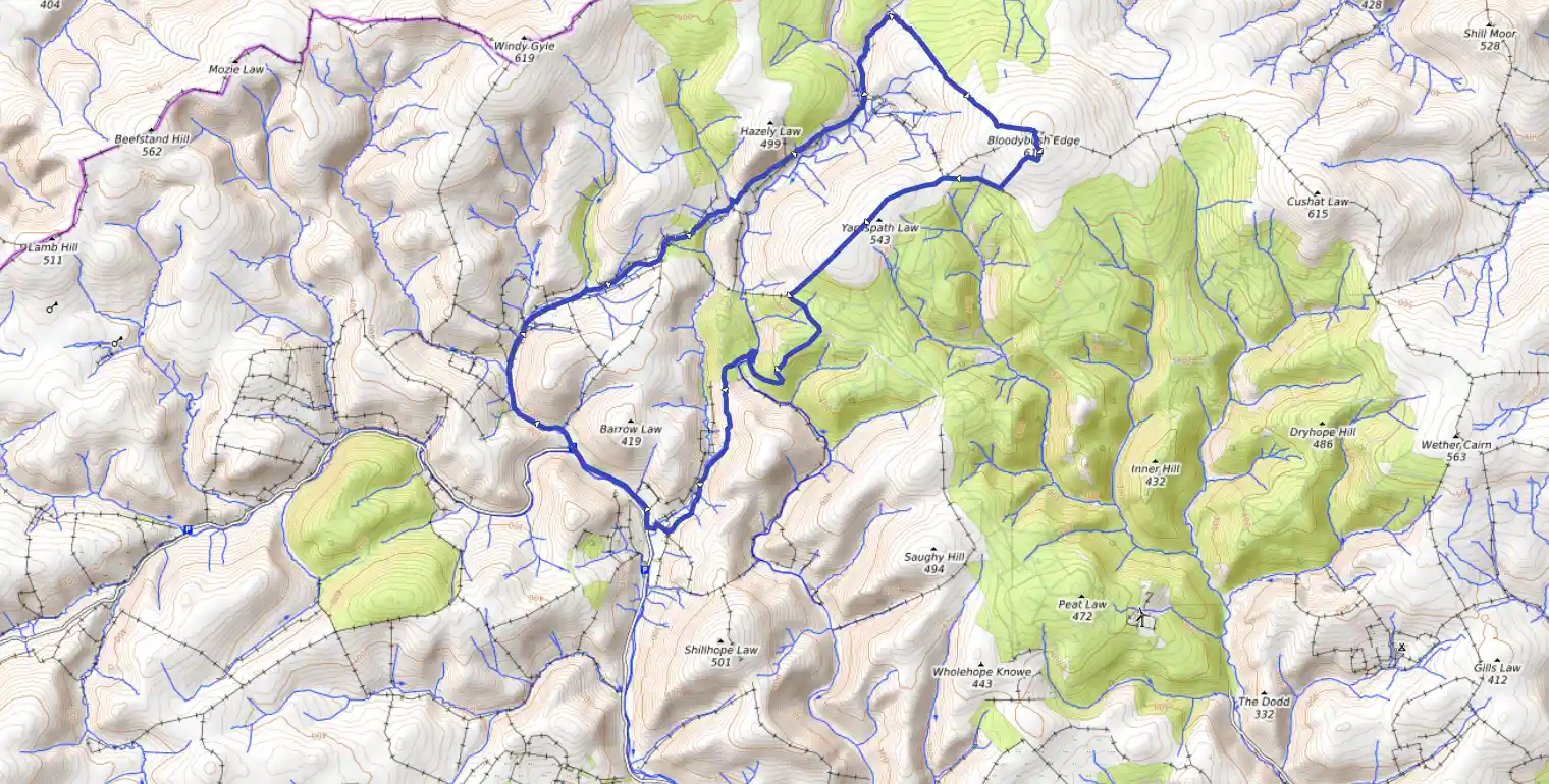
From Geoff Holland's guidebook The Hills Of Upper Coquetdale, which I strongly recommend. This route takes you from Slymefoot carpark past Uswayford and up onto Bloodybush Edge, then back through forest.
The ground is rough moorland and boggy in places, but there's some stunning vie